OrbitLens
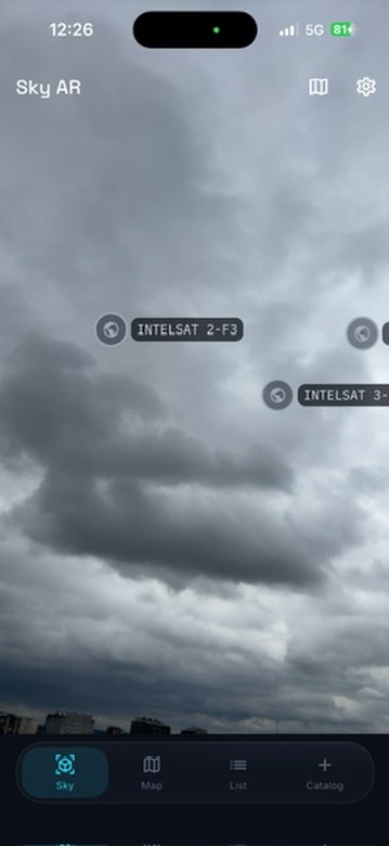
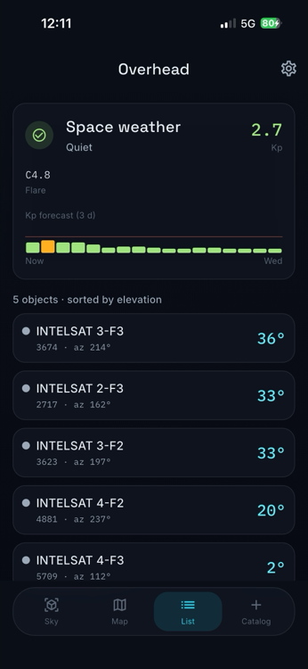
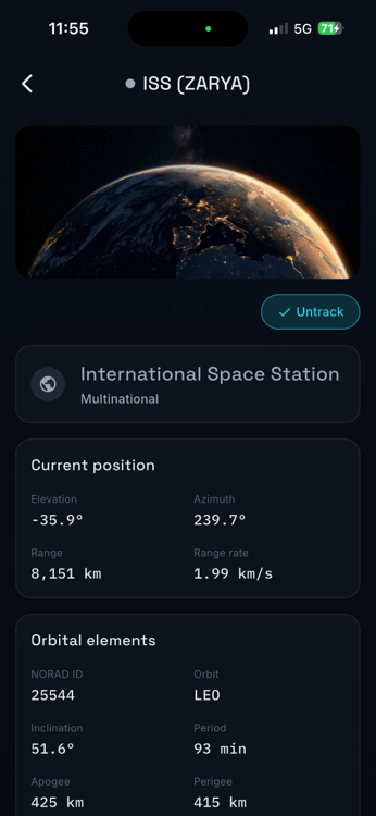
Know what is overhead. OrbitLens is a free, offline-first satellite tracker: point your phone at the sky and an AR overlay marks every satellite passing over you - the ISS, Starlink, weather and navigation birds - with azimuth, elevation and range. Prefer a top-down view? Watch them glide across a live map of the Earth, centred on your location, with ground tracks and next-pass predictions.
- Flutter
- Dart
- SGP4/SDP4
- AR
- Clean Architecture

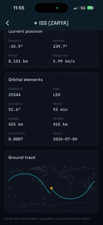
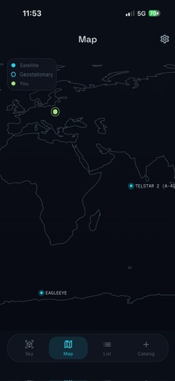
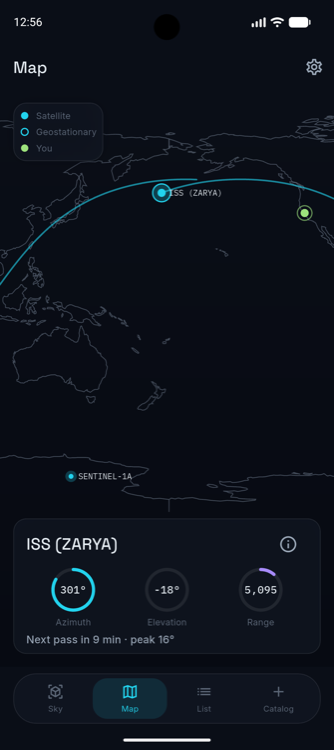
01How it works
Everything is computed on the device with a Vallado-verified SGP4 engine. There is no tracking backend. Orbital data comes from the public CelesTrak catalogue and is cached, so the app keeps working with no signal. The whole thing is a Flutter UI wrapped around two pure-Dart packages I wrote earlier: celestrak for the data, satellite_observer for the propagation and geometry. The app is currently rolling out to Google Play and the App Store.
02Private by design
No account, no ads, no analytics. Location, camera and motion are used only on-device and never stored or sent. Crash reporting is off by default and opt-in. Built in the EU. Orbital predictions are best-effort, not for safety-critical use.
03Architecture
Standard 3-layer Clean Architecture: domain entities and use-cases with no Flutter dependency, a data layer over the celestrak package, and a Flutter + BLoC/Cubit presentation layer. The propagation sits behind an engine port, so the compute layer is swappable and independently testable - the same pattern as cv-web-app.
Next
cv-web-app